
Manjak and the origins of Barbados and the oil deposits we see in the Scotland area began about 50 million years ago and approximately 4 km below the sea level. The rivers of South America were depositing layers of gravel, sand and organic material across the ocean floor. The sea was populated with small marine organisms and as these died their remains added to the sediments.
Some of this occurred where the Atlantic and Caribbean tectonic plates meet, a plate boundary that stretches for thousands of km. Over time the seabed was pushed upwards. About 1 million years ago some of the oceanic sediments broke the surface and gave birth to Barbados. The shallow water around the ancestral island was colonised by coral and formed reefs. These in turn were also uplifted and formed the ridges and cliffs of the island that we know today.
Meanwhile, deep down, the ancient organic deposits were being acted on by heat and pressure to form hydrocarbons. Once liquid oil and gas were formed it started to migrate upwards and became trapped in numerous small sandstone units aptly called ‘traps’, which have an impervious seal of very fine-grained rock. A family of such traps now forms the Woodbourne 1 production field.
Where there is no seal or the seal is broken some oil reaches the surface and accumulates in pools or infiltrates surrounding rocks and sediments. Many such oil seeps are in the Scotland Area and Conset Bay area. Where oil has been in contact with microves and air for extended epiods of time it turns into thick sticky, in places solid bitumen. This material is called Manjack.
If you desire a better understanding of this topic, get a copy of “Geology of Barbados – A brief account of the islands origin and its major geological features” By Prof. Hans G. Machel. He also wrote a chapter in the Book “Preserving Paradise” This book is the result of a series of lectures to commemorate the life of Colin Hudson. –
In 1657 Richard Ligon wrote this:
“We have flowing out of a Rock in one part of the island, an unctuous fubitance, fomewhat like Tarre, which is thought to have many vertues yet unknown; but it is already difcovered to be excellent good to ftop a flux, by drinking it, but by anointing for all aches and bruifes, and fo fubtle it is, as being put in the palm of the hand and rub’d there, it will work through the back.
Another gummy fubftance there is, black, and hard as pitch, and is ufed as pitch, tis called Mountjack.”
Robert H. Schomburgk wrote extensively of the Manjack deposits in his 1848 book.
Although Manjack was used since the days of the earliest settlers its commercial extraction was not done until the early 1890’s and continued until 1940.
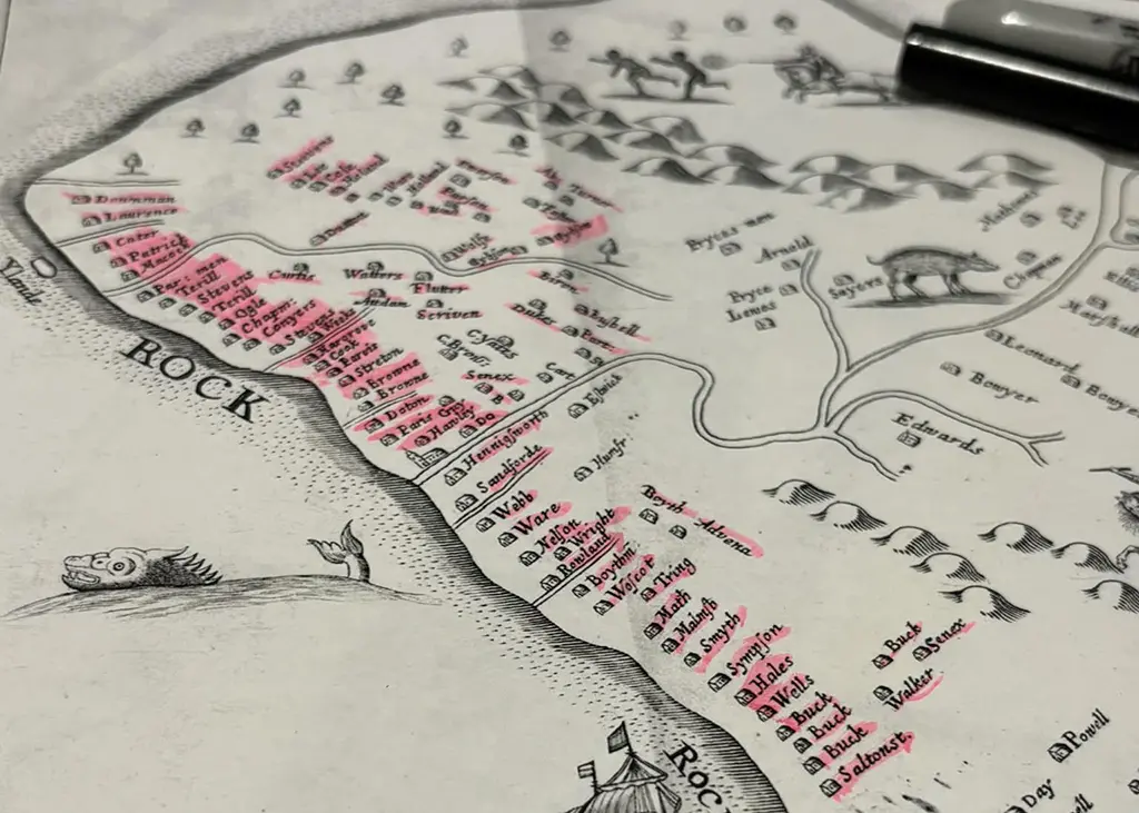
The areas that had deposits of Manjack were:
- Barclays Park, St. Andrew
- Les Beholden and the gulley to the West , St. Andrew
- Vale, St. Andrew
- Groves, St. Andrew
- Springvale and Irish Town, St. Andrew
- Canefield, St. Thomas
- Back River in Turners Hall Woods, St. Andrew
- Frizers, St. Joseph
- Colleton, St. John
- Codrington College, St. John
- Bath and Conset, St. John
Below are pictures of deposits that I have been able to find over the last few years of walking.
Turners Hall Woods and Back River – St. Andrew
This deposit is in Back River between Mount All and Turners Hall Ridge. This is very steep gulley that goes from White Hill and Gregg Farm and eventually reaches Bruce Vale River at Hagatts and enters the Atlantic at Long Pond.

“These rocks are oil saturated sandstone and the green is a plant that likely feeds on the microves underneath that in turn feed on the oil. This is good project for a biologist to figure out this particular symbiosis”.
Prof. Hans G. Machel


Light crude that is seeping through the pore network in these sandstones. These rocks are some of the oldest in Barbados, but very young in geological time. My boot is for size reference.

Crude Oil covering the rocks and water. The orange on the left and centre is a microbe feeding on oil directly or indirectly.

Les Beholden – St. Andrew

Les Beholden was one of the locations where Manjack was mined in an open pit. The people in the area still call the area Manjack when they showed me the location. They also told me that the sides were constantly falling in with the land slippage and erosion. The site is now overgrown with trees but you can still see the outlines on the side of the hill.
To the west of Les Beholden and Chalky Mount are a series of gullies and at least one of these has traces of petroleum, similar to that at Back River.

A Saturday Morning hiker examining the petroleum deposits in a gulley to the West of Les Beholden. During the wet season a lot of water flows through this gulley eventually getting to the sea after crossing the East Coast Road just to the North of Barclays Park. Like all areas in the Scotland District there is a lot of land slippage and erosion.


In the dry season the oil floats on the pools of water and trickles down the rocks.
As we continued up the valley I saw several places where the oil was seeping through the rocks on the eastern side of the gulley. At one place there was a large seep and then after that no more Oil present on the rocks. Like all gullies and hills in this area it takes a lot of effort and energy to get to them. Usually there are no trails and you are walking at your own risk.
Bath, Conset Bay and Codrington College – St. John
Conset was the site of another mining operation. I cannot locate the actual site of the mine. I guess it has long been filled in and covered over by the numerous land slips.
Between Conset and Bath there is a section of the coast line where there are substantial hydrocarbon deposits. This has been scientifically studied by Hans Machel and others over the years.
The rocks at the shoreline are chalks of the Oceanic Group and are impermeable except where they have been cracked to allow the oil to pass upward. Unlike the Scotland Area and Turners Hall where the deposits are liquid at Conset they are very viscous.


Looking South from the end of Bath Beach. The veins of hydrocarbon can be clearly seen in the rapidly eroding shore.


“This shows a bed that has soaked up oil/bitumen like a sponge would, whereas the beds above and below had permeabilities too low for oil to penetrate.
The permeability in the Oceanic Formation is highly variable from bed to bed, at times even within individual beds, the latter mainly when the beds were churned up by worms, shrimps, and other organisms that dig their way through. We call the traces that they leave ‘trace fossils’. There are people who study these features their entire lives. They can be used for paleoenvironmental interpretations.”
Prof. Hans G. Machel

“Attached is an image I took at Conset Bay during low tide, which shows the selective penetration of oil/ bitumen within individual beds. All those dark features in the top part are burrows from said organisms now containing some oil/bitumen. The bed below is highly permeable where it is blackest and grades to lower and lower permeability downward. The permeability is a function of grain size and degree of cementation. You can safely assume that lighter and lighter downward gradient corresponds to more and more cement and/or smaller and smaller grain size.”
Prof. Hans G. Machel
Walkers – St. Andrew


This petroleum seep is to the West of the “mud” Quarry at Walkers. It is at the top of a ridge, surrounded by a gulley on 3 sides.

This is the view to the East from the Walkers oil seep. Back River and Turners Hall forest is to the right, behind the line of the houses on the Ridge. Bissex Hill to the right on the tallest ridge.
The two small man-made ponds are used for irrigation by the many small farmers in the area. This view of the Scotland Area gives some idea as how rugged the area is and it is very prone to landslides and erosion. This area is only suitable to hikers, mountain bikers and small settlements with low intensity agriculture.
Springvale – St. Andrew

Spring Vale and Irish town were also important mines. Over the years I have made several attempts to find the site of Irish Town. But that is another story. This is the roughest area in Barbados to enter. The land is covered by dense vegetation, most of which is so thick that you cannot penetrate. The terrain is a maze of steep and deep gullies with no trails of paths. On one visit I followed this stream. Progress was measured in Meters per hour.

I found this piece of Manjack in the Springvale area but I did not see any sign of the mine. This is different from the liquid deposits that I encountered in other parts of the Scotland Area and the very viscous deposits in Bath and Conset.
I wish to thank Prof. Hans G. Machel for taking the time to answer my many questions and correct my errors. Without his input and educating me on the very basics of the Geology of Barbados I would never have been able to understand what I see on my walks or to write this.
There are other places in Barbados with similar deposits. I will look for and document these sometime in the future.
“Geology of Barbados – A brief account of the islands origin and its major geological features” by Hans G. Machel. Hans has taken a very complex subject and described it in a way that anyone can understand. He also wrote a chapter in the Book “Preserving Paradise”
For information on the history of mining Manjack get The Journal of the Barbados Museum & Historical Society Published in December 2017. These books are available at the Museum Shop.
The Old Time Museum in Spring Vale has examples of the Manjack from the area and other artifacts. Thanks to Newlands Greenidge for the many enjoyable discussions at his museum.
[2026 update] Spring Vale has now been sold and several “Private Property – Keep Out” signs have been erected by the new owner.
Click here to read about Manjak as published in the: Handbook of Barbados 1912 – E. G. Sinckler: Part IX Mineral Resources of Barbados – R. H. Emtage.
Click here to read: Beneath the surface: Rediscovering Barbadian Manjak by Sherwood McCaskie, May 2025.